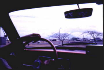
Page 8, Photos by Chuck Miller 1967/68
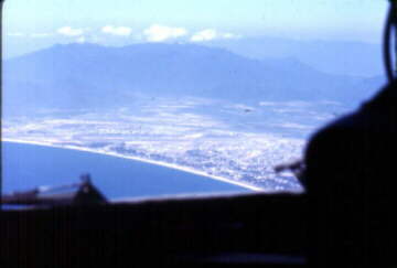
This is Mt. Pinatubo in 1967, the dormant volcano that became active in the mid 90's and forced the
closure of Clark after burying the base under several feet of ash. - - Right - Destination, Nha Trang, a city
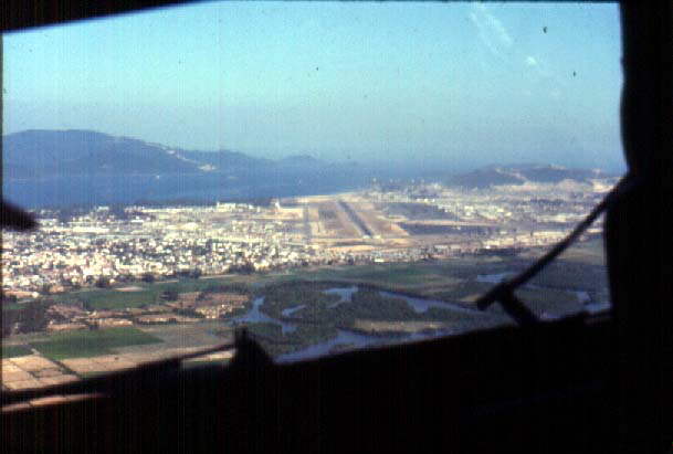
referred to as the "Riviera of Southeast Asia" and "R&R site for the Vietcong". The mountain behind the base
(note runways on the nose) seperated Nha Trang from Cam Rahn Bay, just 15 or 20 nm south of Nha Trang. Here we
are on a tight right base leg for runway 29 ( or was it Rwy 28?? )
Approaching from over the water, landing to the west was the preferred approach. It kept the aircraft
less vulnerable to attack from hostile ground fire. But there were other possibilities like hostile fire ( only )
at night) from sampans in the bay, or from Hon Tre Island that was just a few hundred yares off the right wing on Final.
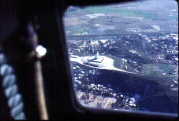
Here, landing to the east from over the valley, you can see how close (and how high) Hon Tre Island is to
the opposite approach direction.
Left - Circling from off the coast on a lefthand downwind let put the aircraft right over the city and provided
a spectacular view of the great Buddha, a 150 foot tall monument that guareded the city from atop a hill.
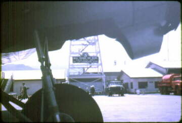
More Buddha later. - - Right - A view of Nha Trang Tower from under the wing of the parked aircraft.